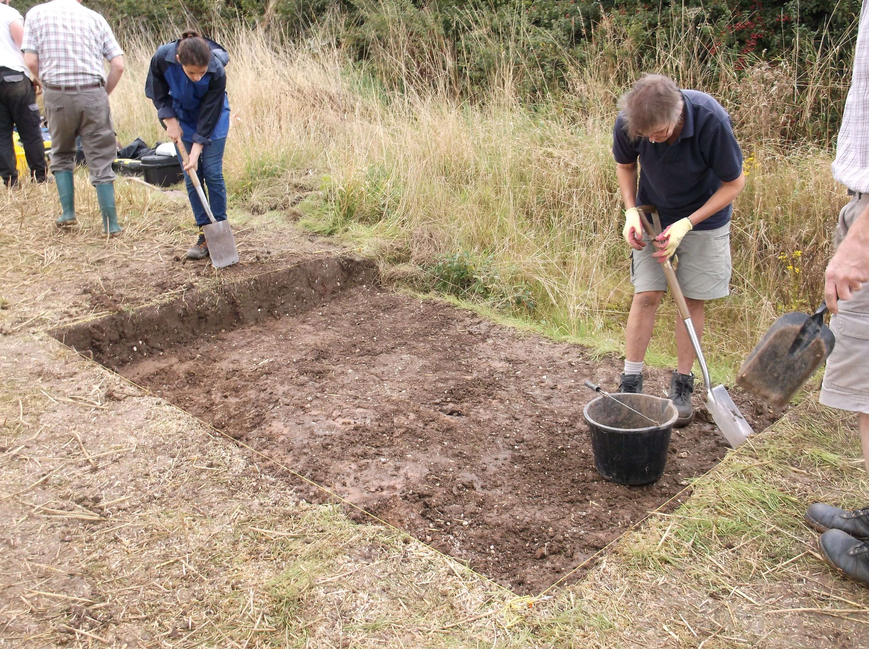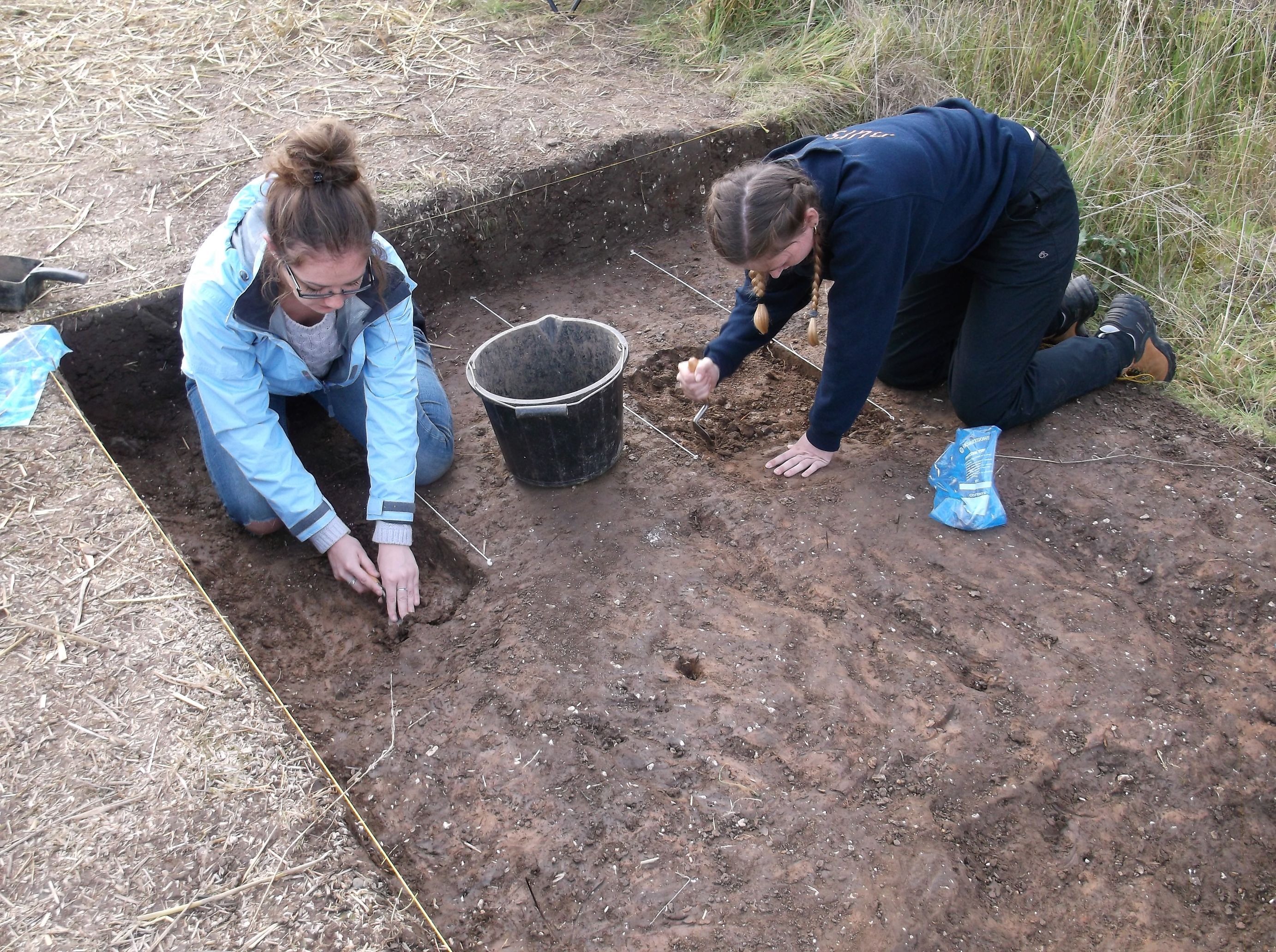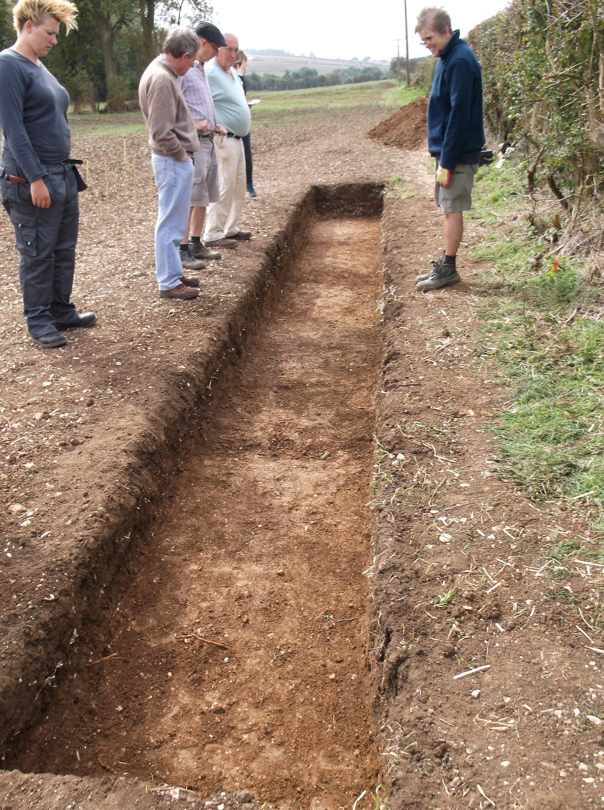
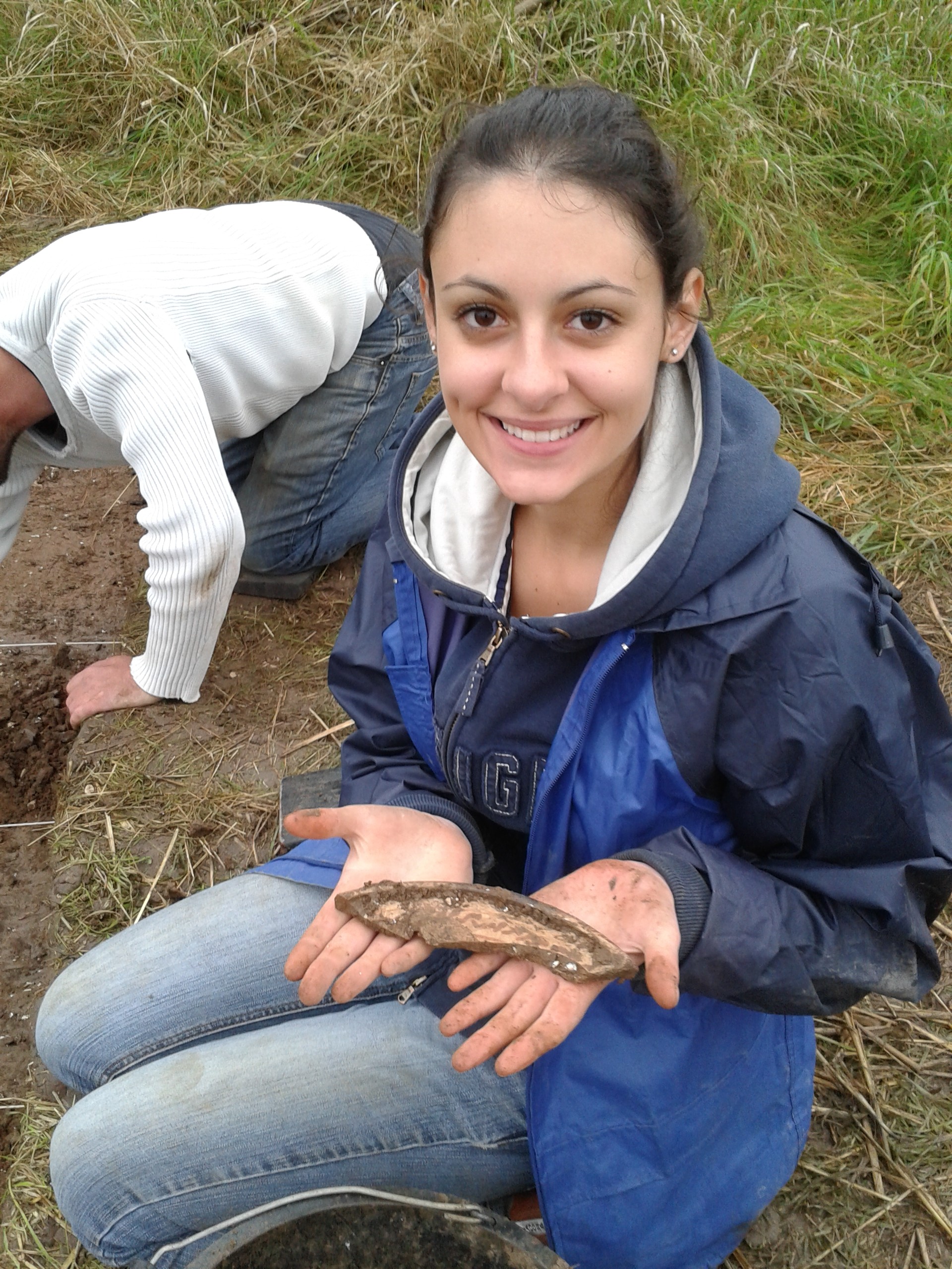
Work on the site has been steadily progressing with a number of significant finds having been discovered. The team has maintained progress at the Hatcliffe site with individuals continuing to excavate a number of new features to help further our understanding of the site.
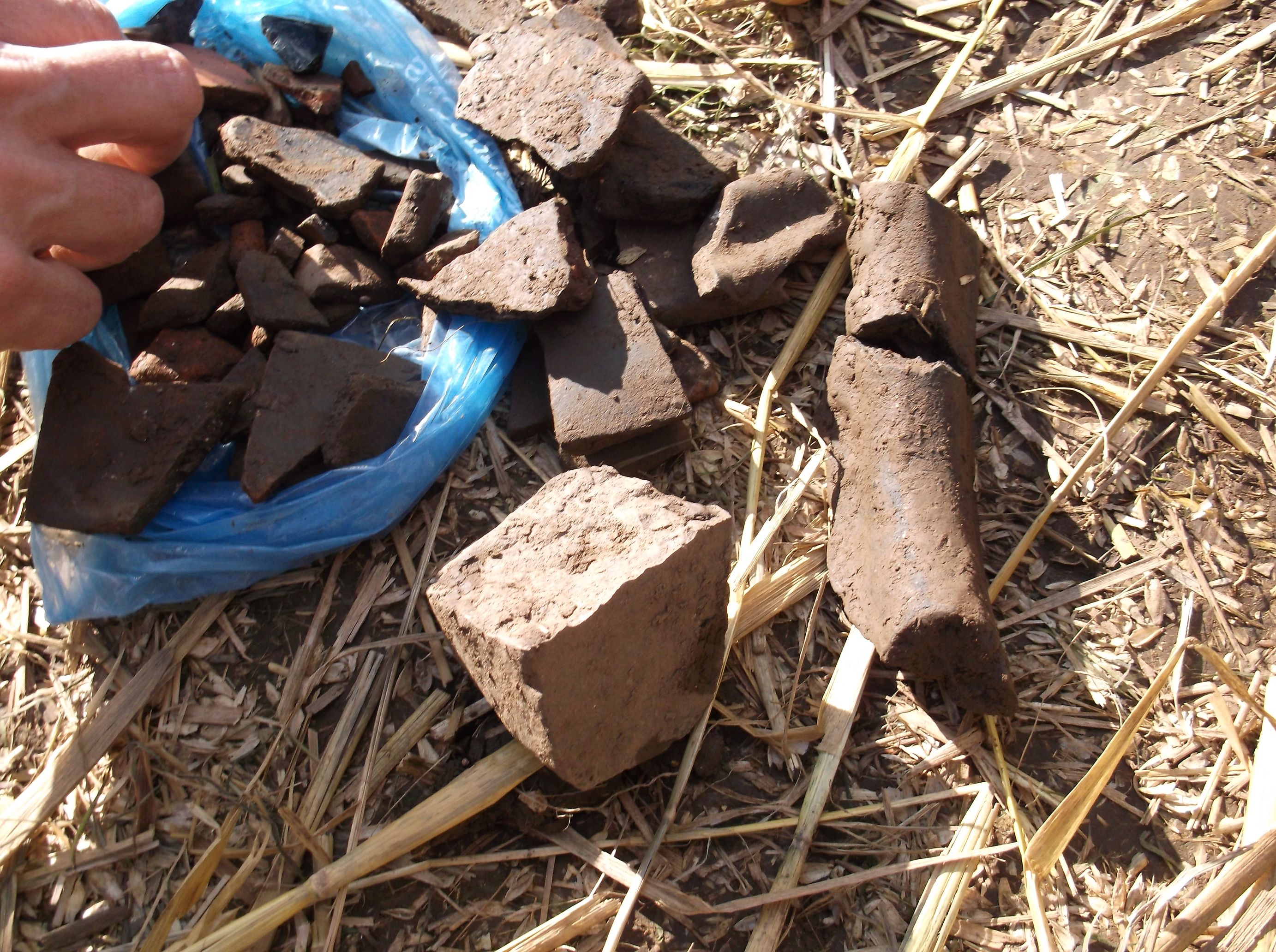
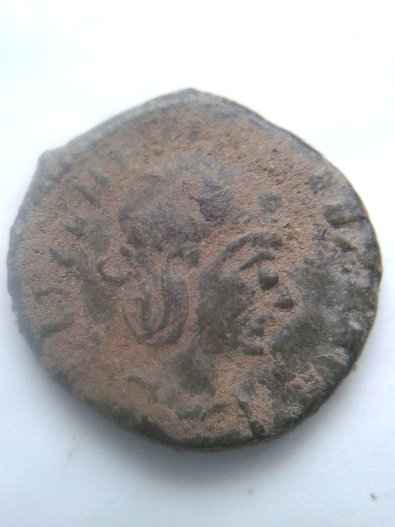
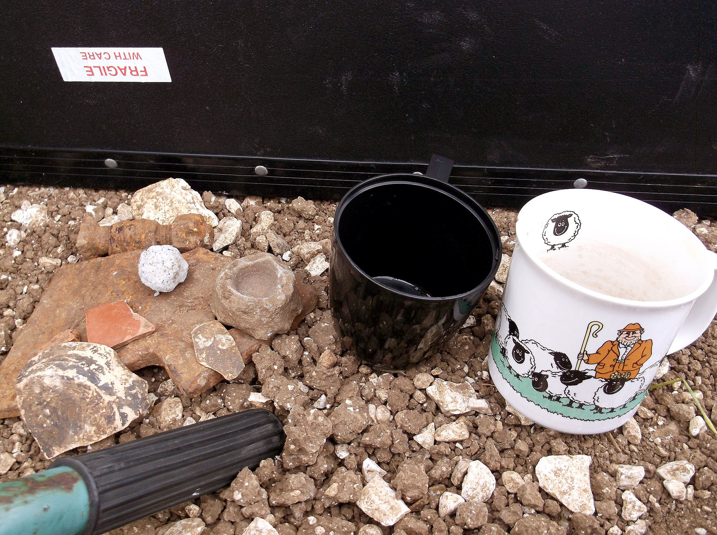
The various finds that have been discovered at Hatcliffe have made the site gradually more interesting. Some of the more unusual finds include a piece of Quern stone from the Roman era which will have been used for grinding corn, a decorated rim from a Mortarium (a mixing bowl; this particular type was made in Crambeck in Yorkshire and so has been traded across the river Humber), Roman tiles and several Roman coins which would have been the type of small change used in day to day life have also come to light. So far two Roman coins have been found in the trench. We have found that the Roman occupation at the site is very extensive but has been covered over during the medieval period by cultivation. this is apparent as we have rig and furrow ploughing features which are characteristic of medieval farming practice.
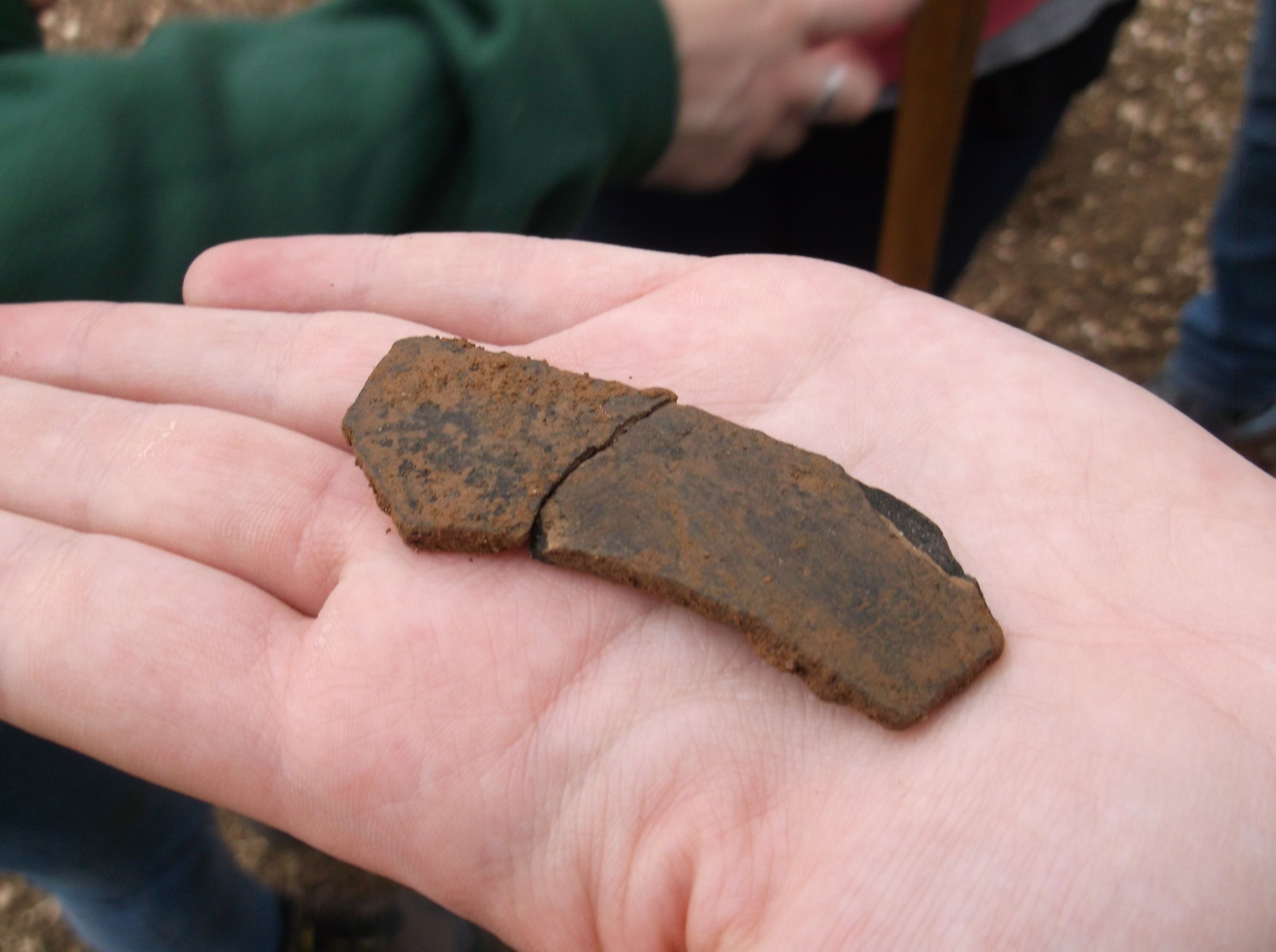
The painted rim that was found in one of the excavated furrows

The washed decorated mortarium rim
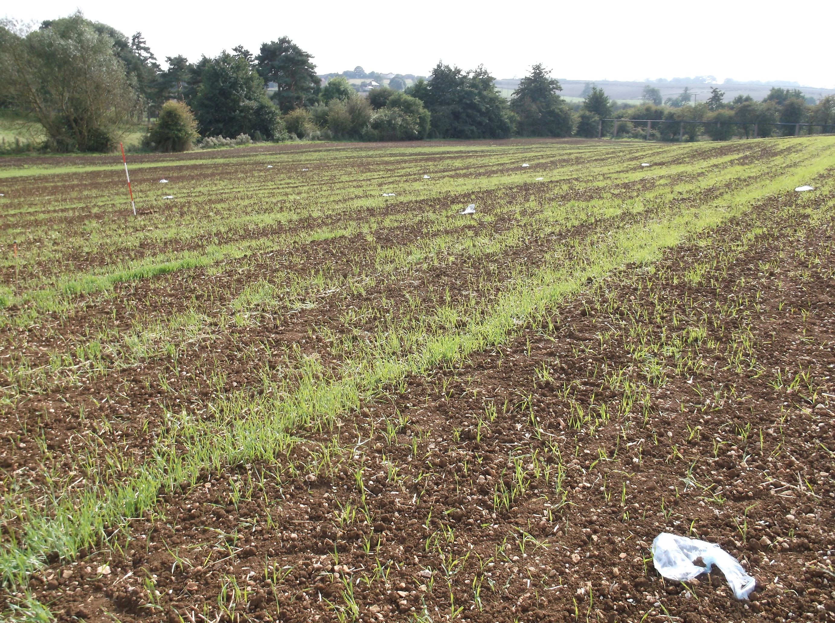
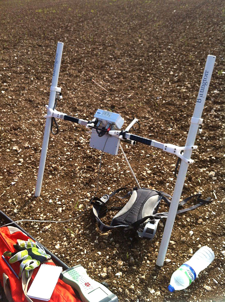
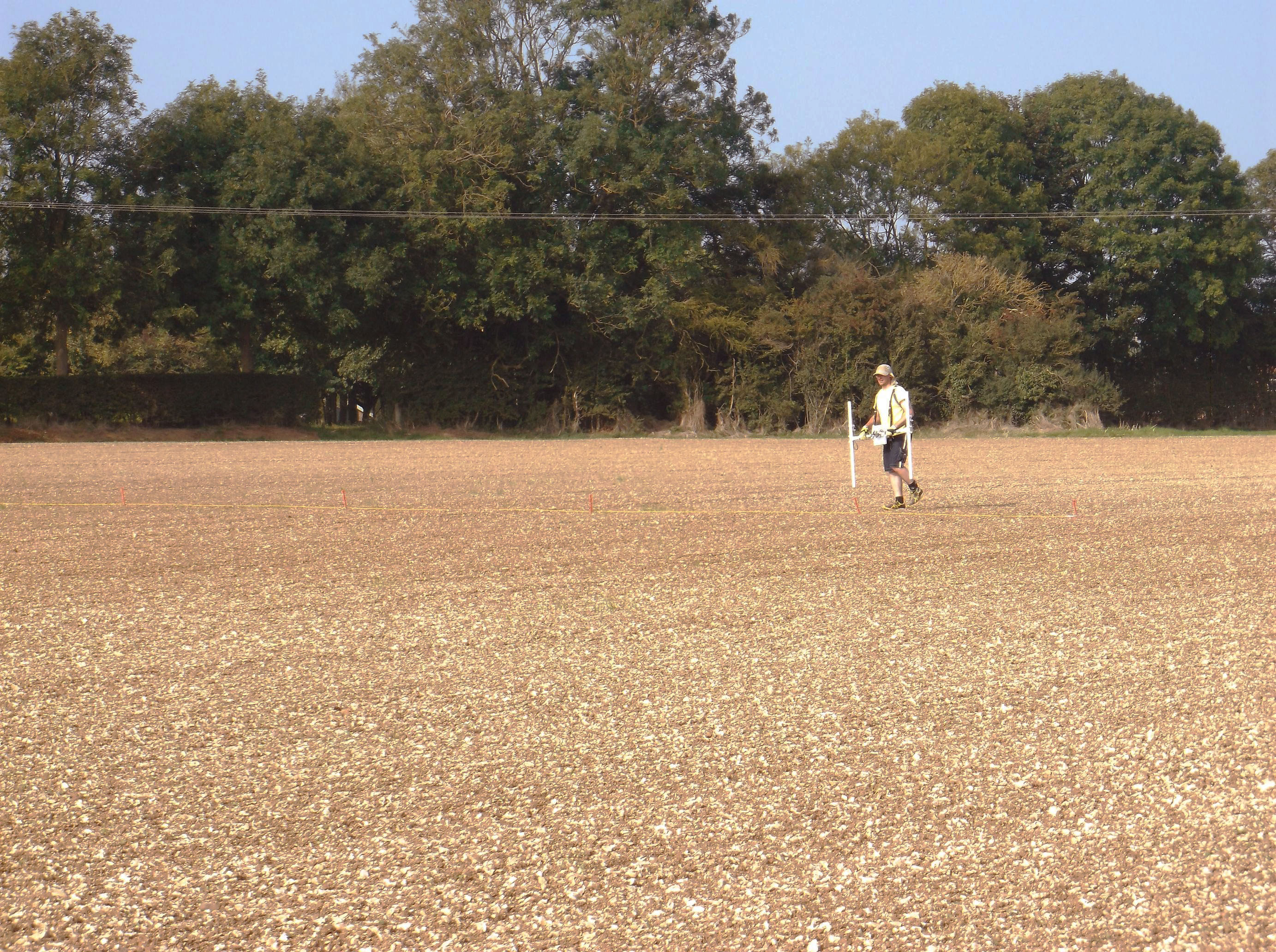
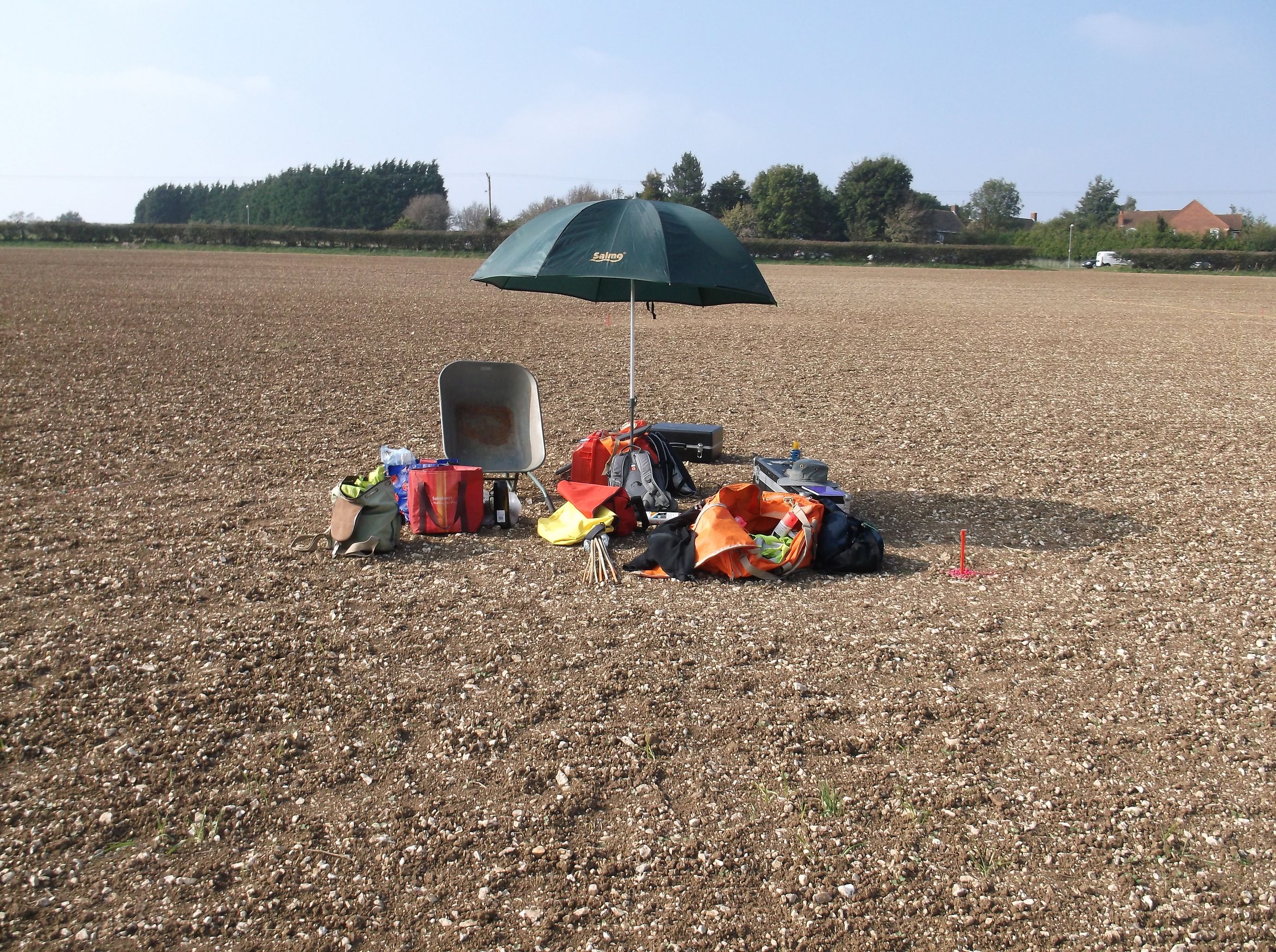
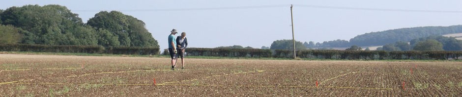
Excavation wasn’t the only work being carried out during the day with some of the undergraduates heading out into the field armed with a notebook, a pen and a 100 meter tape measure. Their aim, to triangulate the positions of surface finds across the field. Using two known points in the field two further points, A and B, were marked, allowing for the distance of the finds from each point to be measured and their positions later marked on a distribution map. The triangulation of finds is an important task as the spread of those finds in the field can help indicate areas of use during certain periods of time. In this case we have found that the distribution of finds on the ploughed surface of the field is closely consistent with the geophysical readings that were taken from across the field. Nowadays we could use our GPS equipment to pinpoint these finds however we are all learning the traditional methods of triangulation by recording the information in this manner; as a counterweight to allowing technology to do all the work for us. Both methods will have the same outcome.
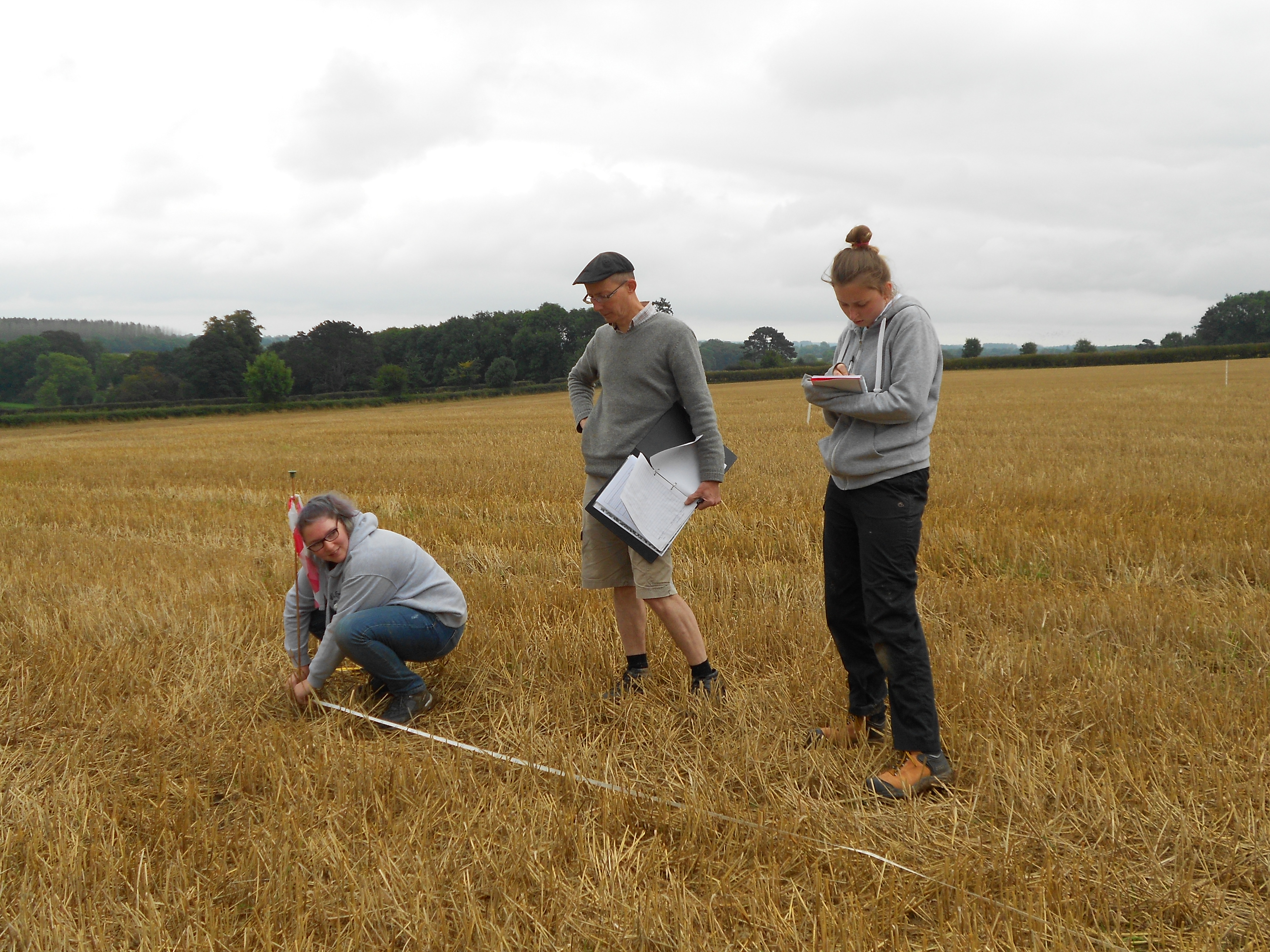
Triangulation in practice.
Although a number of features have already have been excavated there are still numerous areas of interest which have yet to be explored. In the coming days this will be the teams aim as the more information that is gathered the more the understanding of the site increases.