Mapping services
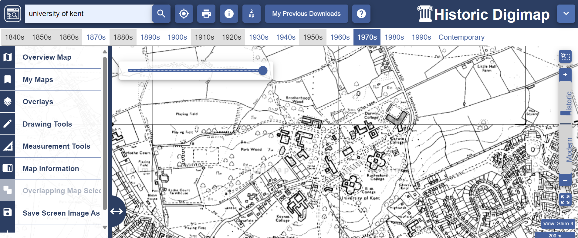
Digimap: an online mapping and data service that provides online access to the most up-to-date maps from Ordnance Survey. Our subscription includes OS, Historical, Environment, Aerial and Lidar collections.
Data is available either to download to use with appropriate application software such as GIS or CAD, or as maps generated by Digimap online.

