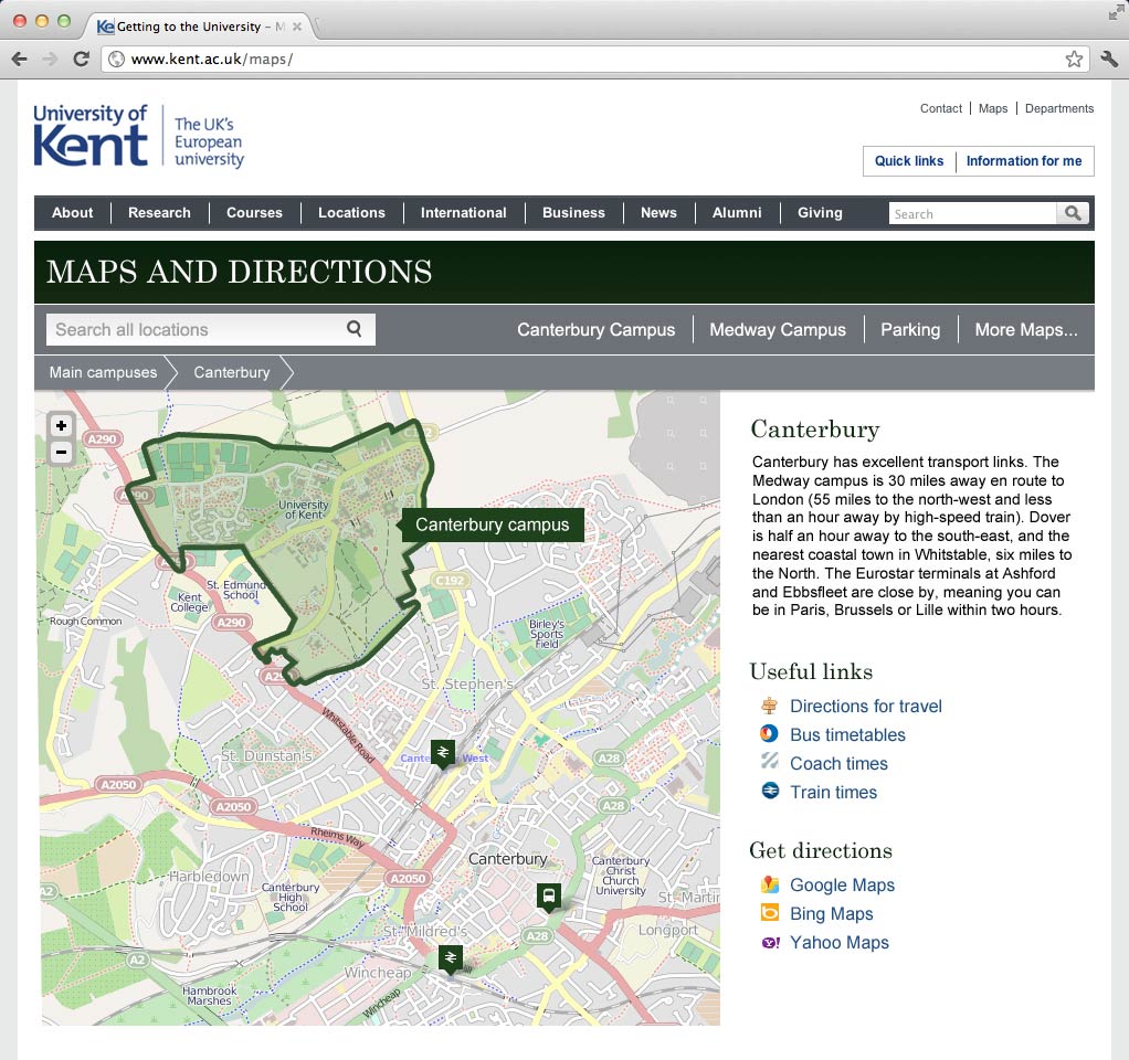
The Web Team is currently working with Communications and Marketing on a new maps web site for the University and we’ld thought we’ld share some of our plans for the new site.
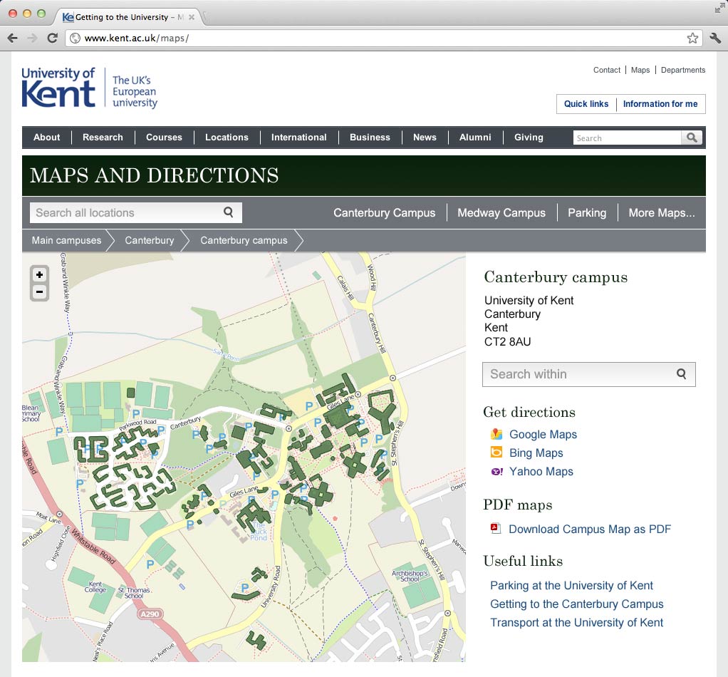
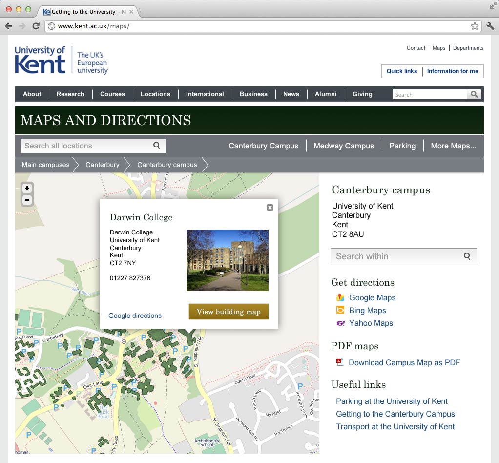
 We will be producing a new site for www.kent.ac.uk/maps powered by a new admin system to manage the the University’s map objects. We’ll be starting with just campuses and buildings but hope to add teaching rooms, car parks and other object types in time.
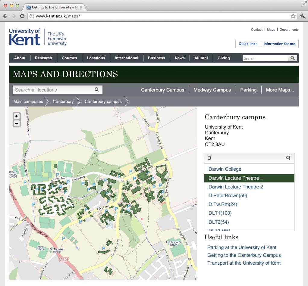
We’ll be linking our map objects up with Open Street Map for geospacial data, and using the relatively new open source map library Leaflet for our interactive maps. Search will play a big part in the new maps site and will be provided by our new Google Search Appliance which we are currently in the process of installing.
The admin system will produce a GeoJSON API for consumption by www.kent.ac.uk/maps. We also hope to make use of the API to power the maps section of the mobile web app we’re currently working on. If there is enough demand we may even open it to the public…
Some concepts
We’re a little while off having a releasable site, so for now we just wanted to share these concepts. Please note some of the functionality shown in these concepts is a bit hypothetical and further off than others. These concepts do not necessarily represent what the new www.kent.ac.uk/maps will look like, at least not the initial release anyway.
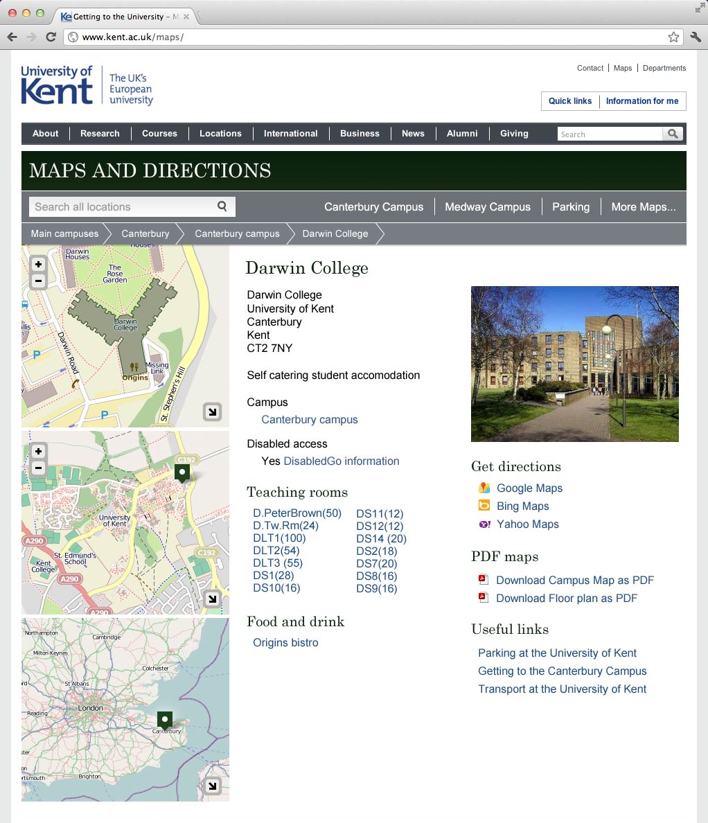
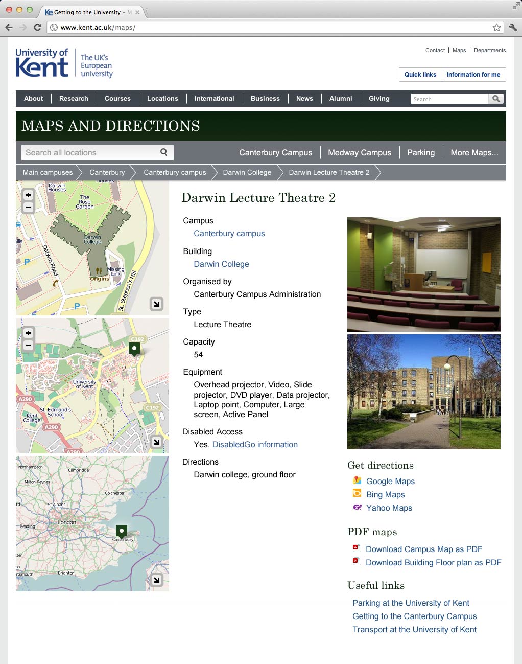


I realise these mock-ups aren’t final, but are you aware that MapQuest Open (http://open.mapquest.co.uk/) has a routing service based on the same OpenStreetMap data you’re using in your maps? Other web map providers tend to miss out many footpaths, making pedestrian routing across areas like campuses difficult.
We have talked about routing but it isn’t on the cards at the moment as we don’t consider it a priority.
From our experiences (visiting other campuses) the need for routing across a distinct pedestrian space, like our campuses, is limited. Once you work out were you are and where you want to go is it easy to find your own route. This is because mistakes are cheap, you can keep looking at the map, you don’t have to worry about one way streets or crossing busy roads.
I’ld be happy for our users and testing to tell us otherwise as the developer in me would love to geek out with the routing api and implement something really cool to do campus directions.
Looks really nice, API-driven development is definitely the future. My only concern is that you mention making it public if there’s enough demand – why not follow Southampton/Oxford/Lincoln/others and make it open by default, at least building data if not individual rooms!
The only reason to not make it open by default is the resource it would require for us to do so. So many priorities at the moment we have to really justify what we spend our time on.