Our big anomaly is now largely exposed. It is a massive pit filled with dark soil containing copper working slag and other finds … but we will not know its function till we have excavated more of it.
Ash continued working in the east end of the Trench (Trench B) where she was yesterday, and has found a ditch which Lloyd had said should be there. In the top there are many oyster shells which look like the remains of a Roman feast. They are some way from the sea here but we know oysters went to Roman Leicester in the centre of England. By comparison we can see the sea (the Humber estuary) from near our site. Maybe they arrived packed in seaweed to help preserve them.
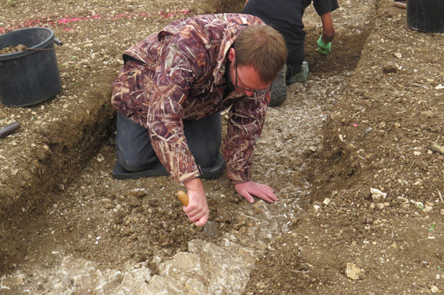
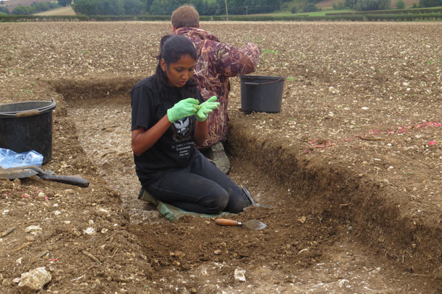
Meanwhile Gareth found some chalk bedrock – bright and rocky (see photo) so we know what the ‘natural’ subsoil looks like that the past people settled on.
Jonathan has collected the stone column drums from the bottom of the field by the stream and after carrying them with Herculean powers a long way then wheeled them up the hill to the road so we can take them away for further study. The socket holes are very square and they have got Steve Willis very excited.
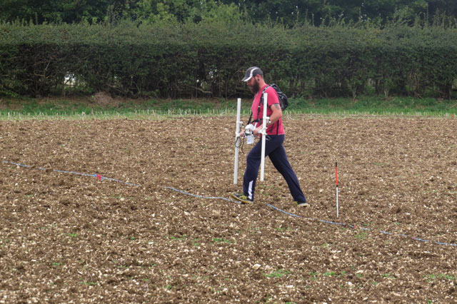
Down the slope, Trench C was started. Resistivity survey suggested to Lloyd and Andy faint traces that might be walls below the ploughsoil; there is a lot of broken up stone in this part of the field which might be the remains of a building. We think the best building stones are likely to have been carted away long ago for use in other buildings. The trench is just small at the moment but already we can see stones below the ploughing zone and there are several big and small animal bones: the small bones being ribs and leg bones of a chicken.
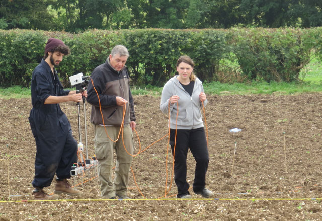
One of the highlights today was the result of the magnetometer survey at the top of the site (up slope). Last year’s survey had suggested the site was arranged along a road bordered by deep ditches, traced over 280m, heading to cross the large stream, but the survey today shows the ditches turn a right angle further up the slope. Is this a road junction for chariots and oxen carts or does it mean our site lies within an epically large enclosure surrounded by these broad ditches. If so it is at least the size of two football pitches and bets are on as to whether it will be the equivalent of four.
The dig team.