Wildlife Conservation student James Bronthon’s interesting module choice has taught him essential skills and led him to a holistic understanding of sustainability and the importance of technology in conservation.
During my time at university, I’ve had the opportunity to take a variety of interesting modules. During my second and final year (I did a Year In Journalism in between) , I took two fantastic geography modules: with one concerning Geographic Information System (GIS), Spatial Analysis: Principles and Analysis and the other revolving around Sustainable Landscape Planning.
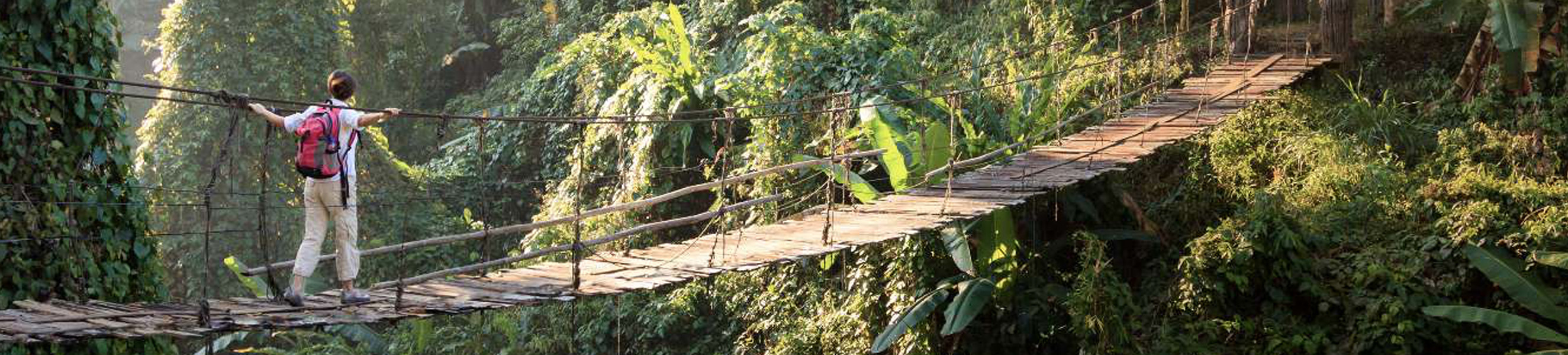
Being a wildlife conservation student, these modules have helped me to better understand conservation issues from a new perspective. While map-making in the 21st century may seem like something somewhere between archaic and niche, GIS is a tool which wildlife conservation simply could not exist without.
What GIS allows is incredible: from estimating the ranges of species to tracking where an endangered animal is travelling. While tagging elephants would traditionally use rudimentary devices, GIS allows for their movement to be clearly and carefully mapped. This is incredibly useful for managing human wildlife conflict, and certainly helps to show where Wrinkles the elephant that you sponsored last Christmas has really gone to (if you’re lucky, not a bushmeat market).
Even incredibly thrilling things such as urban transport also come alive with a GIS- generated map, and it really helped me to understand why human conflict was occurring and just how the IUCN determines that species are rare or extinct.
It is a testament to the module and the software that, despite having to struggle to grasp it throughout the COVID-19 pandemic, I still revere it. Most astonishing of all was that it was a geography module, not a wildlife conservation one, which so elegantly simultaneously frustrated me and captured my imagination. If I had not taken that module, some vital concepts may have still been confusing to me. The module, possibly more than any other that year, had permanently opened my eyes to the vital importance of technology in conservation. Yet this was not a mandatory module and, in theory, had little to do with my Wildlife Conservation BSc course.
In my four years of being at the University of Kent, the most fun module I have taken has been about farmers and ecosystem services. This geography module, again, gave me another way to see the conservation world- through that of farming. Sure, my course mentions farmers and farming, but they usually assume the role of nuisance villains who just don’t understand what conservationists are trying to achieve. What is usually ignored is what farmers think about us.
But what if we were to see through the eyes of a farmer? How has farming changed over the decades? Just how does a farmer become ‘organic’ or ‘environmentally friendly’? What are the incentives? These aren’t questions answered in my degree, because that’s not what it’s designed to ask or provide, but these questions are at least novel to most conservation students here at Kent.
While my Wildlife Conservation degree is a wholly rounded course, there does tend to be some nuance missing if one takes only conservation modules. Geography and its practitioners have helped me to appreciate the oft-sought after but usually ignored whole-picture. Without GIS, conservation of endangered species is rendered improbable and without understanding the needs and wants of the custodians of the land, conservation of endangered species is rendered impossible.
James Bonthron is studying for a BSc (Hons) in Wildlife Conservation.