
| Principal Investigator: | Raj Puri |
|---|---|
| Co-Investigation: | Alan Bicker, Ian Bride, Mike Poltorak, Joseph Tzanopoulos |
| Research Team: | Anna Durdant-Hollamby, Anca Mamaische, Louise Rasmussen, Katy Sharpe, Joe Spence |
| Project Design: | Attiat Gamal, Alex Graham, Laura Leahy, Vivien Macdonald, Emily Malkin, Alison Mckeand, Emma Molloy, Treya Picking, Ren Piercey, Louise Sykes, George Uren, Anette Vestergaard, Tim Wilcox |
| Project dates: | September 2014 – December 2015 |
| Funding: | University of Kent 50th Anniversary Fund |
Summary
To celebrate 50 years of the University of Kent, we have studied social and ecological changes in the Kent landscape over at least the last 50 years, through an analysis of geographical images and historical data as well as 50 videotaped interviews with farmers, conducted by SAC undergraduates, on how their farms have changed during this period. An overview of the research collated thus far is presented below:
Video
Excerpts from interviews with four farmers: Kenneth Jenner, Bridgit Boty, Jon Hinchliff and Tony Redsell (filmed by Joe Spence).

Audio transcripts
 “Whereas we used to have a whole lot of people hoeing potatoes and walking through corn stubbing out the thistles, now it was all done with a sprayer…That was a big step forward, but it also means you tended to meet less people.” Chandler and Dunn
“When I started at 18 there was a…sort of romantic idea of being outside in the open on the farm…and it was a way of life. But now it’s much more a business…they are businesses with 8-10 million pound turnover and lots of complexity, lots of paperwork. Many growers probably preferred it the way it was 20 or 30 years ago.” Chris Rose
 “Before, somebody came in for a load, took it away – just gave ’em a ticket for 20 whatever-it-is, and now you have to produce paperwork to say what it was sprayed with on what date, when it was picked, the date it was grown, what fertilizer! And those are things that are very hard for an old-fashioned person like myself to understand.” Martin Twyman
“Nearly every farm around here would have grown some hops…If something needed doing to the hops you did that first cause it’s a very high value crop for beer. And I think there’s only about half a dozen hop growers left in East Kent now.” Mr. Holdstock
 “Land is a finite resource…The population’s going up but the land area’s effectively going down…There’s a bigger population wanting maybe a wider variation and a better quality of food to eat.” Chandler and Dunn
“Supermarkets are bigger than the government, the way they control our lives, how they pay us, how they price us, their policy of going and getting produce from other counties before us…And we have to have them. We can’t farm without them.” Martin Twyman
 “Picking was done by women, usually women with young children who could have the children on the fields when they were picking.” Chris Rose
“The whole pattern of having local labour, predominantly female, coming out at half past eight or quarter to nine harvesting through until approximately three o’clock when they will go and pick up their children, that’s all gone. It’s become seven days a week, long hours – a labour-intensive site.” John Hincliff
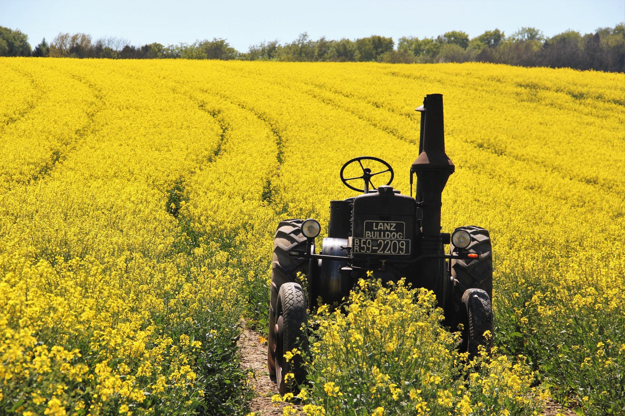
 “I suspect 50 years ago there would still have been the odd farm with a horse left on it. Our biggest tractor would have been about 40 horsepower then, when our biggest one now is 220 horsepower. And that isn’t big by what some of the arable farmers are running: 4-500 horsepower tractors! They can do in a day what somebody would have taken a month to do.” Mr. Holdstock
Spatial Analysis Maps


Click on thumbnail for larger image.
Maps created courtesy of KISS (Kent’s Interdisciplinary Centre for Spatial Studies) with thanks to Kent County Council’s ARCH project (Assessing Regional Habitat Change).
Aims

Using a holistic approach to challenge the hegemony of EU’s CAP as a change driver, and recognising the creative, experimental nature of farming in Kent, we will explore the ecological, social, cultural, economic and political causes of change and response. Perhaps the university has, in some as yet unknown way, influenced these changes?
Outputs

- Academic articles addressing the dynamics of farming and farmers;
- Web pages for the Kent website that display the results of the GIS spatial analysis;
- Archive of the videos of farmer interviews;
- A forum for additional comments and contributions by the University/Kent community and interested viewers.
Significance

- Provide documentation of the changing landscape, economy and social life of farmers over at least the 50 years the University has existed, and extending back to the beginning of the 20th century, where records exist.
- Involve the rural community around Canterbury and in Kent in a research/heritage project that showcases UKC’s environment and potential influence.
- Involve SAC students and staff in a collaborative project that showcases the school’s interdisciplinary approach.
- Test the propositions that the CAP is not the only driving force in farmer’s decisions, and that the University has had an impact on farming and farmers in the Kent area.
- Provide a data baseline and archive to be revisited/updated in 50 years’ time.
Project Organisation

- Raj Puri: PI, training of UG interviewers; preparation of materials for website
- Helen Newing: Training of UG interviewers; preparation of materials for website
- Ian Bride: Training of UG interviewers; preparation of materials for website
- Alan Bicker: Liaison to farming community; training of UG interviewers
- Joseph Tzanopoulos: Coordinate Spatial analysis, purchase of remote images; preparation of materials for website
- Dimitrios Bormpoudakis: GIS technician (digitise and analyse images; develop spatial model; collect land use records; preparation of materials for website)
- Mike Poltorak: Visual Anthropology training and coordination of video data
- Joe Spence: Video editor (consultant to edit video interviews, prepare clips for uploading to website)
- James Kloda: Webpage technician (Consultant to create interactive site, with data and community forum)
- SAC undergraduates: to conduct interviews, produce videos and audio recordings, transcribe and code interviews
- Information Services: to manage website long term
Methods I

Obtain, digitise and classify aerial photographs and satellite images of the Kent county area.
-
-
- Obtain land holding maps and records from Kent County Council andAgricultural Census.
- Analyse changes in land cover and land use, ground truth land cover/land use types.
- Note areas of change and stasis.
- Produce maps, photos etc. for website in a format for long term archiving.
-
Methods II

Select 50 land holdings for further study.
-
-
- Using participant observation and semi-structured format, train undergraduate research assistants to interview owners, and other household members or labourers, about the current uses of farming land, plus the changes over the past 50 years (if known) and local explanations for these changes.
- Describe Social Network Analysis of influence.
- Train undergraduates to use a audiovisual methods to record interviews and tours of the farm.
- Link photos and video to GIS database with GPS readings.
- Farmers may have photos/maps or other data themselves to aid research and exhibition.
-
Methods III

Compare existing literature with interview results and GIS analysis to produce a narrative of change during the University’s existence.
-
-
- Examine links between biological and cultural diversity.
- Document the creative ways that farmers are adapting to changing contexts, especially CAP and UK policies, perhaps in regard to climate change.
- Identify problems, needs and issues of economic, cultural and ecological significance to local farmers.
-
Methods IV

Create an interactive webpage with maps, photos, videos, and a forum for discussion.
-
- Web designer.
- Video editor needed to produce films of archive quality.
- Consent agreements for webcasts.
- Webmaster to monitor forum.