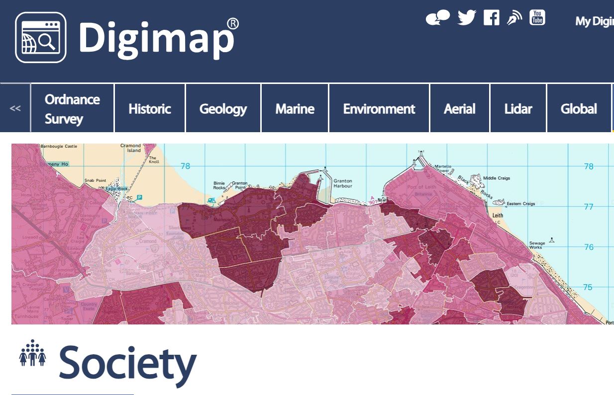
Digimap is an online service that provides access to maps and mapping data.
This year we are trialling access to extra Digimap content. In addition to our existing access to Digimap collections – Ordnance Survey, Historical, Environment, Geology, Historical, Aerial, Lidar, Global and Pilot collections you can also access Digimap Society, Verisk, agCensus and Marine up until July 2024.
The new collections
Society Digimap provides access to layers of census data, overlaid on Ordnance Survey maps.
Verisk Digimap provides access to:
- UKMap – a modern, highly detailed, feature-rich mapping database of Greater London.
- UKBuildings – to help you understand the age, structure, characteristics and use, of commercial, public and residential buildings across GB.
- UKLand – a detailed consistent breakdown of the use of land across the UK
agCensus Digimap gives access to a time-series database of grid square based data derived from the regular Agricultural Censuses of England, Scotland and Wales.
Marine Digimap provides detailed marine charts and vector data for Great Britain, as well as smaller scale worldwide marine charts.
How to access this resource
Access Digimap and follow the login instructions.
We’d be interested to hear any feedback on the new Digimap collections so please do get in touch to let us know what you think or if you need any help accessing or using the resource at: libraryhelp@kent.ac.uk