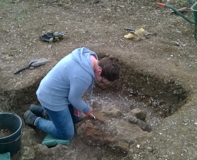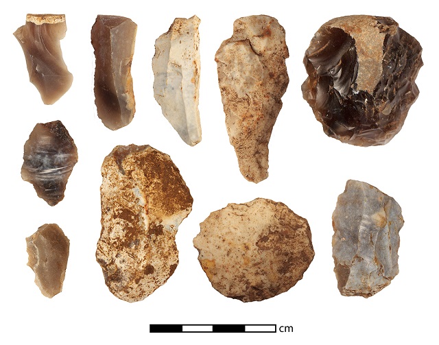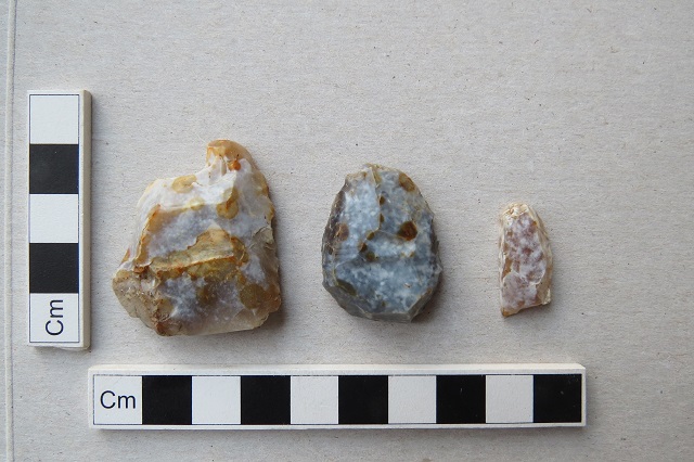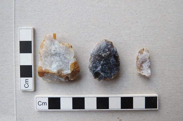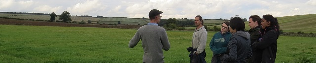
Our final day on site at Binbrook today. Time to finalize our records of what we have found and draw plans of the trenches, though there are still one or two parts of Trench C to explore a bit further. Good weather is again our friend. It was a day of visitors. One of the very positive aspects has been the number of people who have wanted to learn more about what is going on and visited us in the field, trench-side; most have returned a few days later to see how the excavations have progressed, and in some cases our visitors have been along three times in a week. So we must have fired their interest; several say they are investing in trowels and will join us in the excavations next time. In particular we were pleased to have members of the Grimsby Metal Detecting Club visit: they discovered the site a few years back. It has been very helpful to learn from various members who have taken the time to visit and outline their discoveries and their thoughts on the site, which they have built up over a number of years. These are important parts of the picture. In particular Paul explained where various finds such as samian tended to come from; Club members also note and recover artefacts such as worked flints dating to before the Roman settlement. The Farm and Farm Manager at the Binbrook and Hatcliffe sites have been very accommodating and all on the project are grateful for access to the fields.
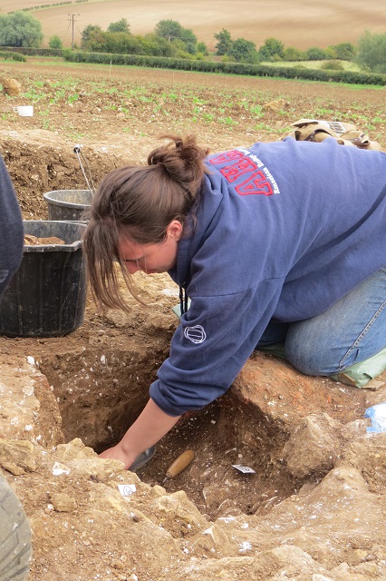
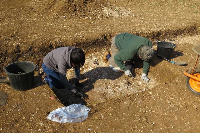
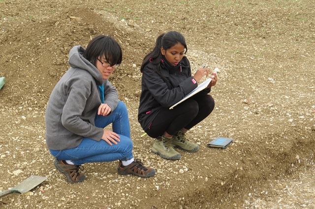
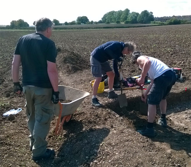
Around 25 of us have participated in the fieldwork this year, eleven from the University of Kent and around fourteen members of the North East Lincs Archaeology and Local History Society and other local volunteers. The work day today was varying in nature (sometimes all spades, barrows and mattocks, other times careful trowelling). This and the changing weather have brought us together. It is a collaboration and team effort. Everyone has learned a lot about excavation methods and techniques and some even say they have enjoyed it! It has certainly been eventful. David’s spade is sharper than ever and his wit is matching it. Steve will give a talk on the findings to the local school in the near future. Steve and David have already been thinking on the next steps for the project. More immediately the students will be writing up what they have learned from the fieldwork. They showed great dedication and kept smiling in the face of north-easterly winds blowing up the valley competing with the sunshine. Lucas in his post-pit, Toni diligently cleaning finds, and Valerie carefully trowelling are memorable impressions. Ashwini will put together a portfolio though she is not taking the training for degree credits. J’s corn-dryer had him hooked on field archaeology from early on. Danielle had no shortage of questions about how and why, between her time on geophysics and horse-managing. Meanwhile Elizabeth completed her seventh season on the project; she has once more been magnificent in ensuring all ran smoothly and in just ‘getting things done’. It has been through everyone’s efforts that we have achieved quite a lot in the space of two weeks and three weekends.
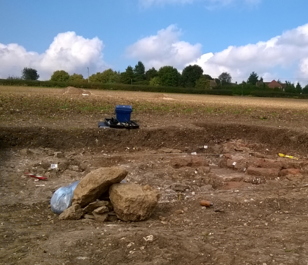
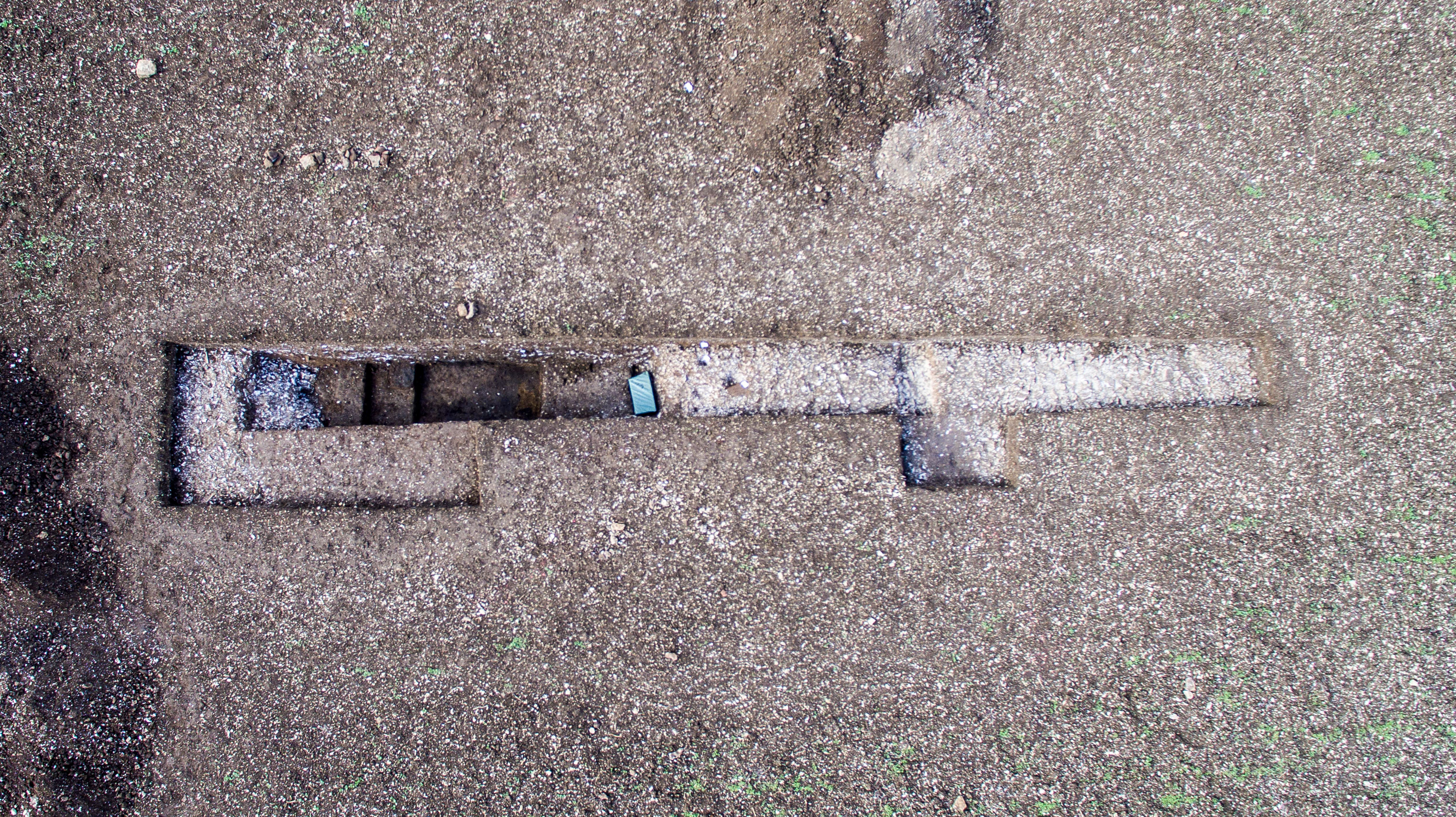
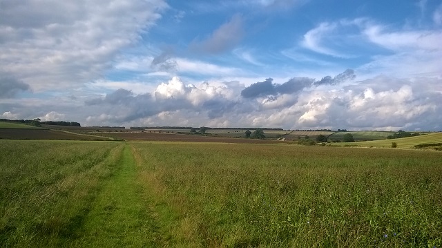
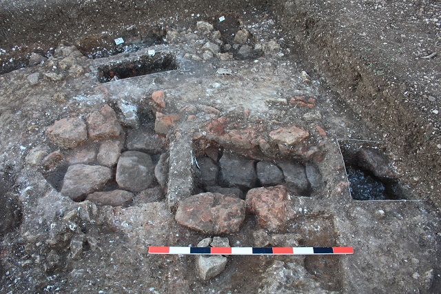
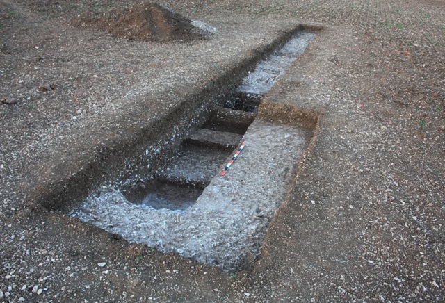
View from Trench C looking to Trench B (up the valley side)
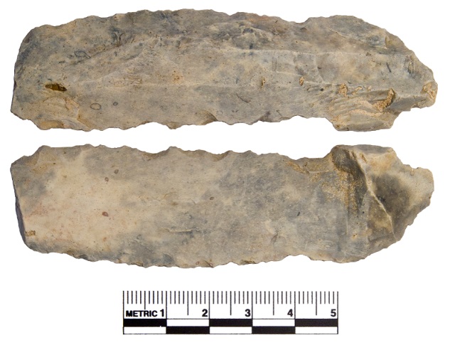
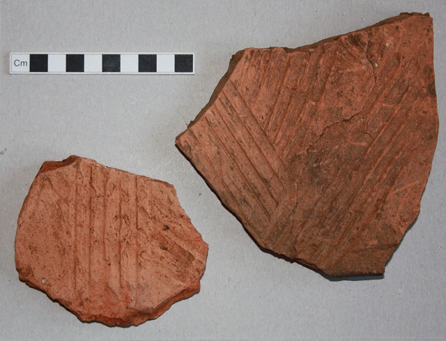
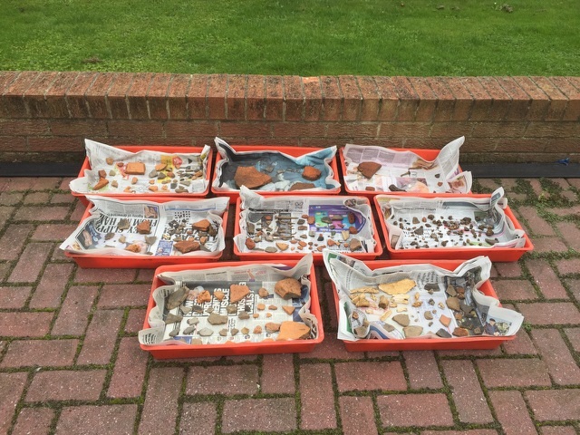
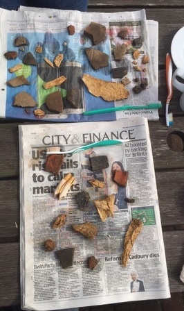
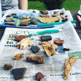
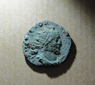
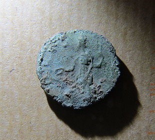
Recent posts have focused on the excavations as this is what we have been concentrating on just now. However, the great majority of our finds (half a tonne) are from the systematic fieldwalking: tile and brick fragments, items of building stone, and pottery sherds, collected from over a wide area of the site (3 hectares). Examining these finds and plotting their spatial distribution and combining that with the results from the large area walked last year will give us a very helpful picture of the extent of the site and its character. This can be over-laid on our plot of Lloyd’s geophysical surveys so we have complementary types of evidence for the Roman settlement. We have gathered the raw materials from which to build a detailed understanding of the site. 3-d thinking will be necessary too.
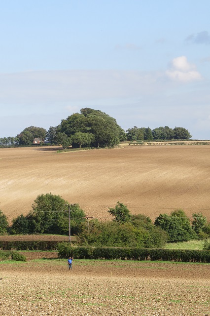
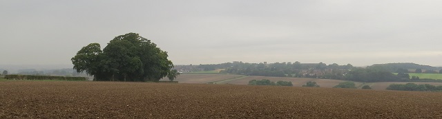
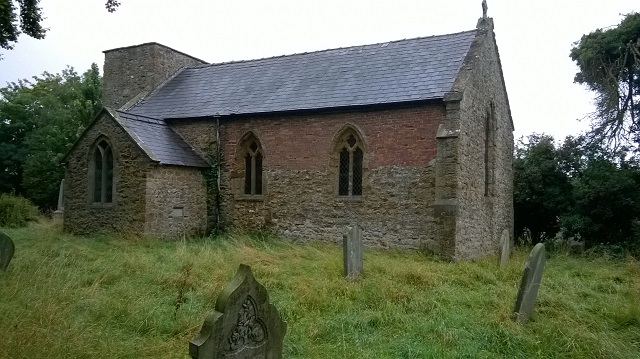
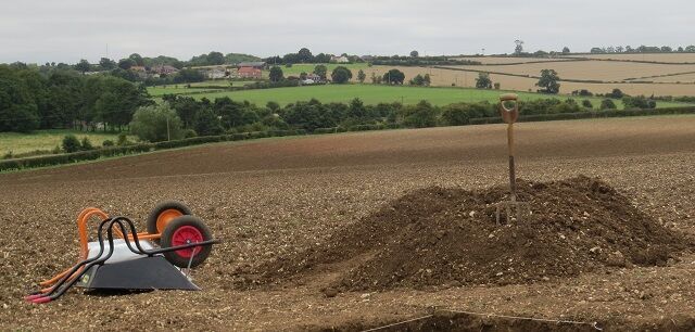
The landscape at Binbrook, as elsewhere on the Wolds, is striking and it is no wonder this is part of an official area of Outstanding Natural Beauty. It is an attractive place to work, study and be. One of our most fascinating finds is a part of a Roman finger ring. It is not a piece of bling but a glass bead set in a copper-alloy mount and ring. The bead is a small green sphere and a close look shows a sparkly interior – whether this is how the ring was originally designed to appear or is a function of age is a matter for a specialist: it is simple but attractive, and, having been worn by a resident at the Roman site makes it seem very special.
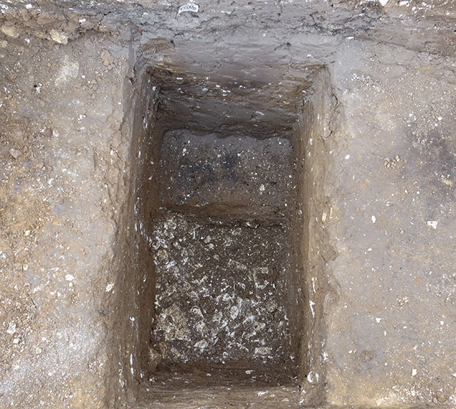
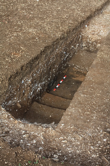
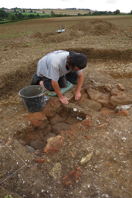
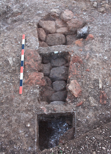
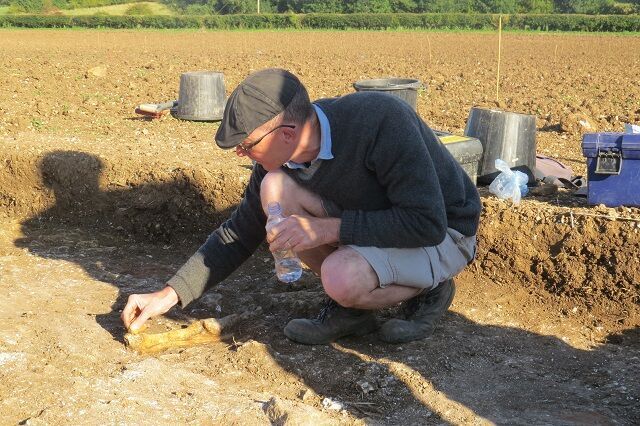
Looking back in time: early days at Trench C
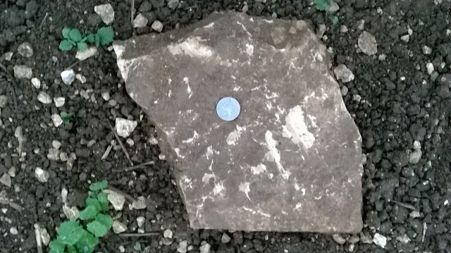
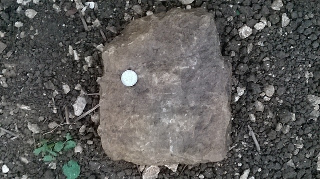
The research aims for the season have been met. Was the site a villa? Answer: on the evidence we have yes, though of course what a villa is can vary widely. There is no evidence we have found of a mosaic or painted wall plaster. There may have been plastered and painted walls but fragments may have weathered down as mortar that is not in situ appears to have done. We think floors were likely paved with stone as we have found many fragments of fine-grained split slabs (which look to have been a prestige import). Everyone believes there is so much box-flue tile in the ploughsoil that this villa had a bath or heating system. It seems a farming household gained enough wealth to invest in a stone villa-type house with Classical features.
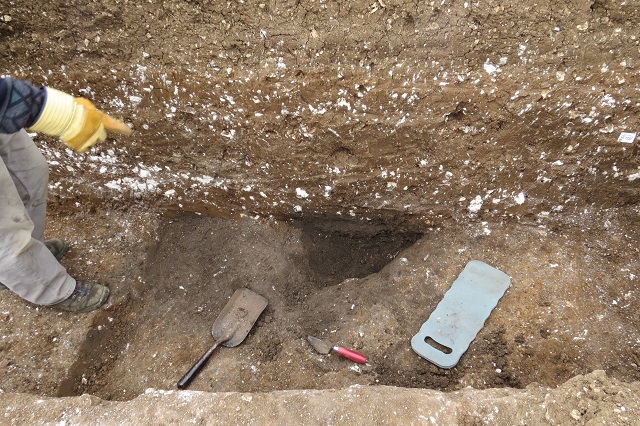
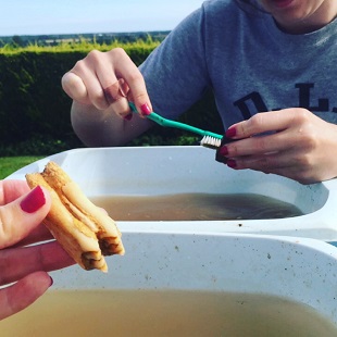
 We hope to update the blog in the autumn with news as we clean the pottery and analyse the finds. We should know more on the three features thought to be corn-dryers, from analysis of the soils and carbonized remains – was this their actual function? We continue to study and learn.
The Dig Team
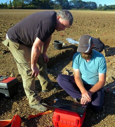
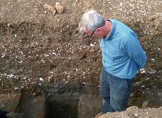
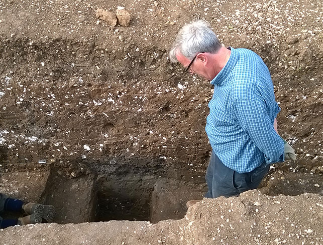
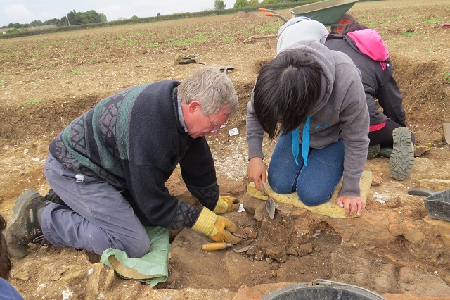
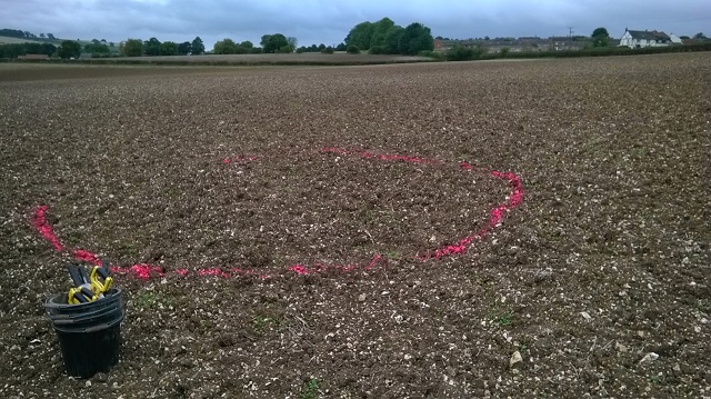
Lloyd and Andy discussing the latest geophysics results and where best to locate Trench C.