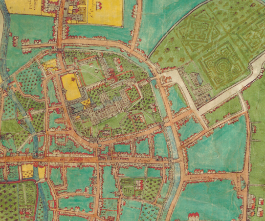
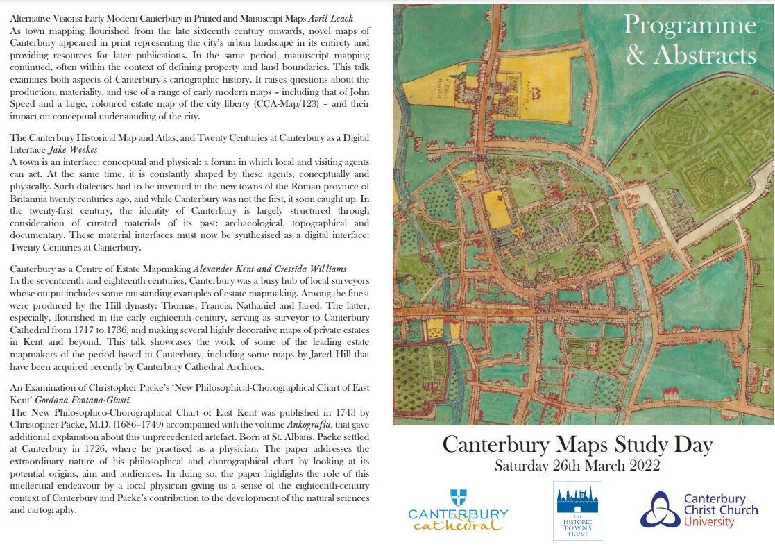
The Maps Study Day event was organised jointly by Canterbury Cathedral, The Historic Town Trust and Canterbury Christ Church University led by Dr Alexander Kent (Christ Church University) and Ms Cressida Williams (Cathedral Archives and Library) with the aim to explore the history of Canterbury via its maps, cartography and map-making.
The paper delivered by Gordana Fontana-Giusti was titled ‘Christopher Packs: New Philosophical-Chorographical Chart of East Kent’. The event included presentation of papers, visiting the map display at the Canterbury Cathedral Archives and the attendance to the Evensong in Canterbury Cathedral. This has been yet another successful public engagement collaboration with our local and national partners. The multidisciplinary approach was fruitful and thought-provoking that was best manifested in the richness of the discussion and feedback received from the audience.
Many thanks to the organiser Dr Alexander Kent and Cressida Williams who have invited a great selection of papers.
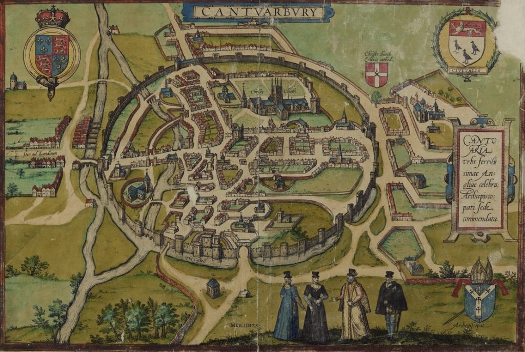
Image Credit: the Canterbury map, ‘The Cities of the World’, Civitates orbis terrarum, by Hoefnagel in Braun & Hogenberg, 1588, Courtesy Canterbury Cathedral Archives collection, No CCA-DCc-PRINDRAW/3/A/1.


