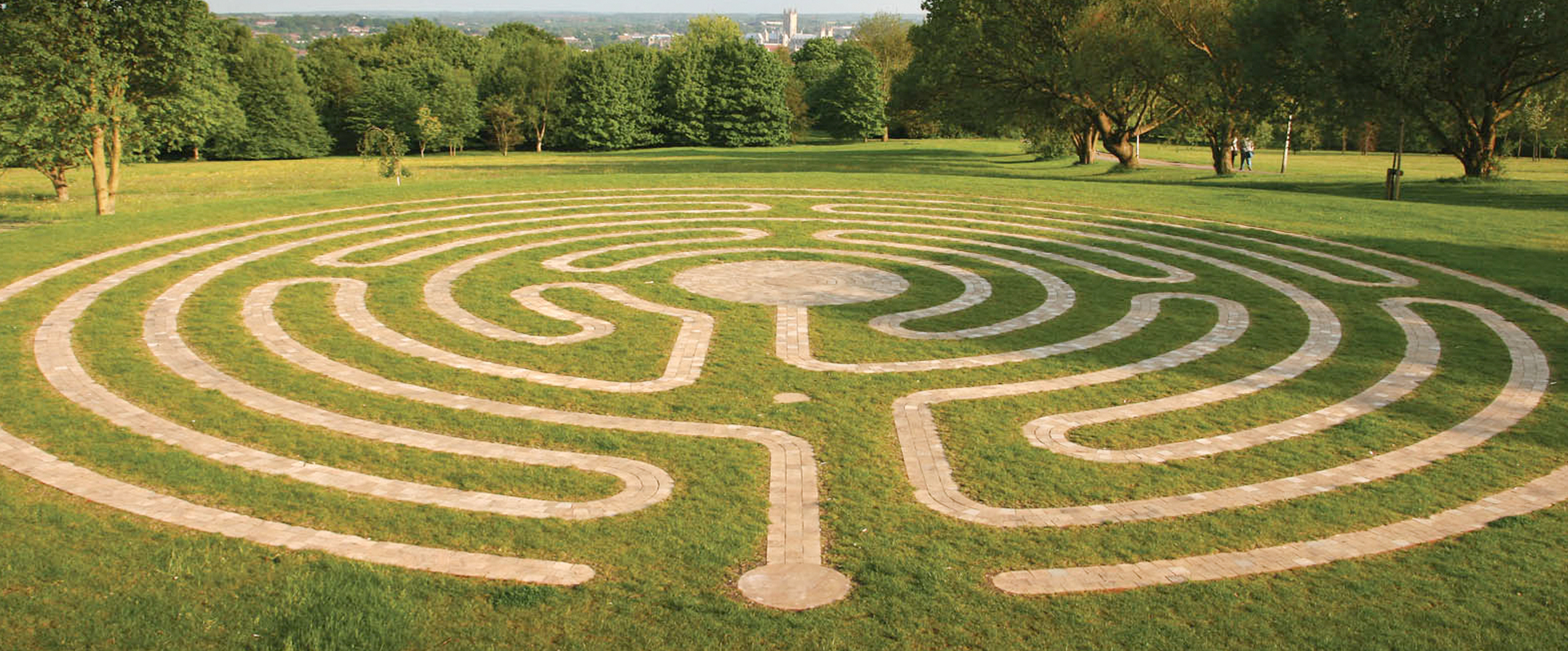

Just before the University’s annual winter closure on 23 December 2016, the Estates Department started to investigate the cause of extensive, but localised, flooding at the Jarman Plaza — the paved open area opposite the campus shop, Essentials, and immediately in front of the Kent School of Architecture’s Digital Crit Space. More than once during the autumn term, a large puddle of shallow water covered the entire paved area.
So what caused this flooding? The Ordnance Survey map of 1896 and georeferencing could provide a clue.
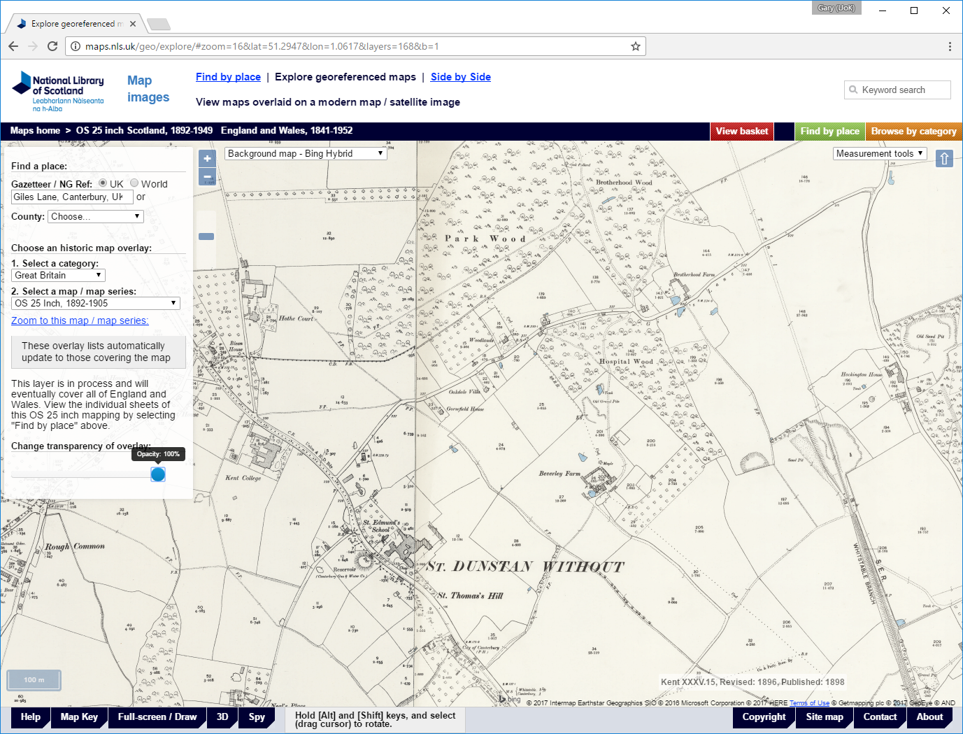
A range of historic Ordnance Survey sheets are available online as part of the National Library of Scotland collection of high-resolution, georeferenced maps. Georeferencing allows the overlay of up-to-date satellite imagery, such as Google Earth and Microsoft Bing, onto a range of digitised period maps so that features such as roads, bridges, railway lines and buildings on both image sources align. For local historians, georeferenced maps are particularly useful as a means of visualising the chronological development of a city, town, village or rural area. The transparency of the overlay is adjustable so that the two images appear to merge into one another. Houses and streets on the satellite image fade into late-Victorian fields, woods and farmland. For the University’s elevated campus overlooking Canterbury, moving the opacity slider in the opposite direction transforms pasture and grazing into colleges, laboratories and administrative buildings.
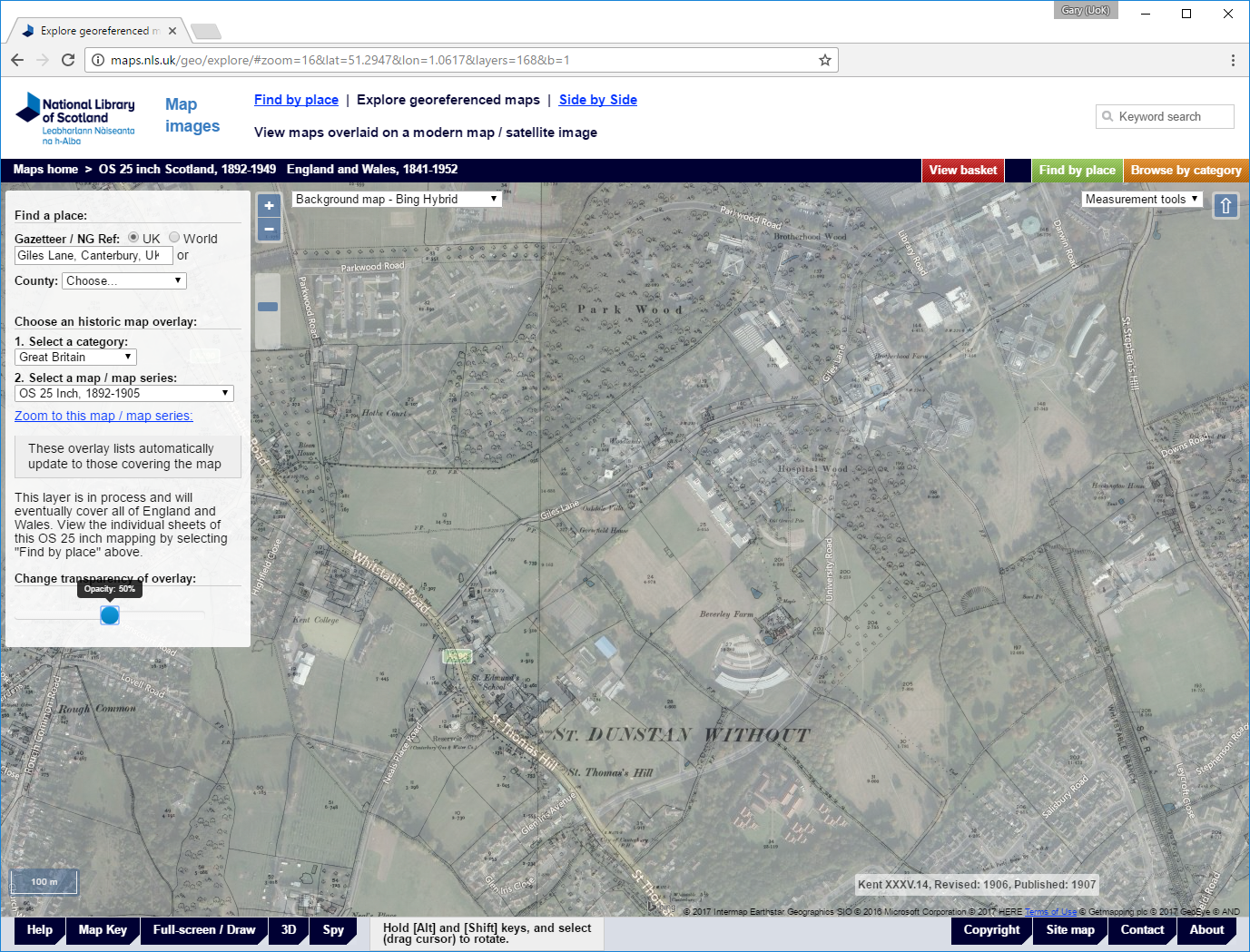
The 25-inch 1896 Ordnance Survey map shows that the central part of the Canterbury campus affected by autumnal flooding in 2016 was once the site of Brotherhood Farm. The farm buildings were demolished in 1963 to make way for Eliot College and what would become the Physics Laboratory — now the Marlowe Building, which provides office accommodation and teaching space for the the Kent School of Architecture as well as being home to the Faculties Support Office. In front of the barns, cow byres and other outbuildings were two large duck ponds.
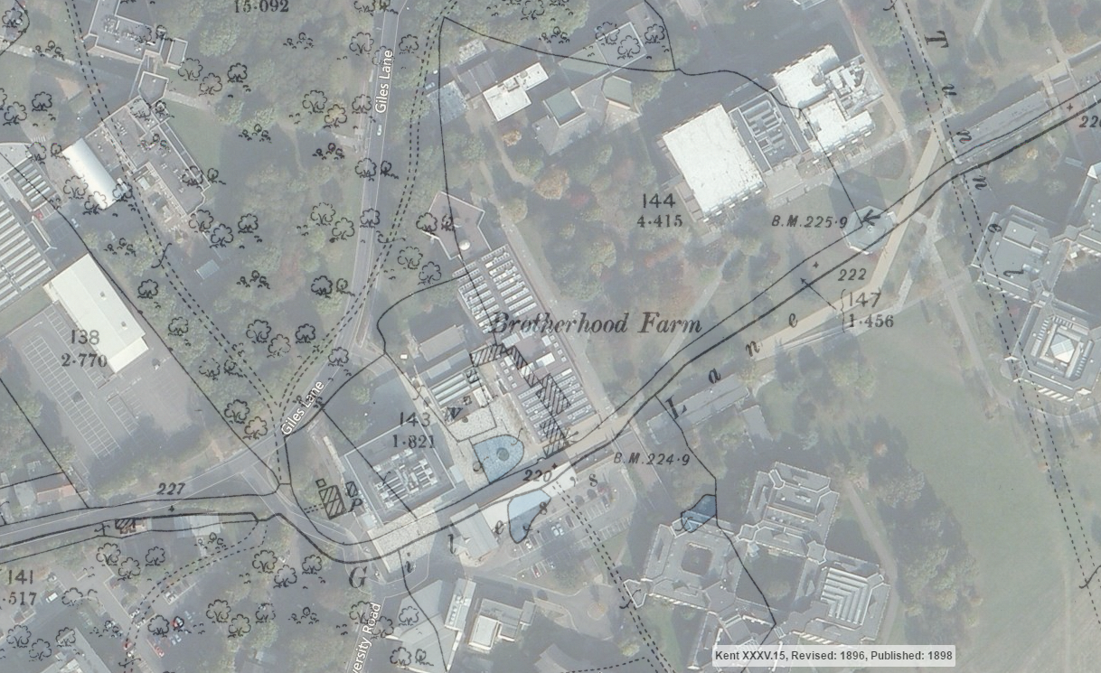
From this detailed view, it is possible to make out one of the steel-edged planters in the Jarman Plaza standing in what would have been the middle of the pond nearest the farm buildings. The eagle-eyed will notice too that the eastern end of Giles Lane, which now passes behind the Templeman Library and beside the Colyer-Fergusson Building and Darwin College, was rerouted along a footpath to avoid it running through the middle of the developing campus.
To return to the autumn flooding, the official line from Estates — after a brief investigation — is it was due to blocked drains. But is it too fanciful to imagine this was a fleeting reappearance of one of the two Brotherhood Farm ponds?